URGENT UPDATE: A significant cold snap is set to envelop Southeast Georgia and Northeast Florida, with temperatures expected to plummet overnight. A Freeze Warning is now in effect for inland areas of Southeast Georgia and Northeast Florida, while a Frost Advisory covers coastal regions, effective from 3 a.m. to 8 a.m. Thursday.
Clear skies this evening will lead to a sharp drop in temperatures, following a warmer afternoon. Residents should prepare for temperatures to dip into the low 30s, which poses a risk to sensitive vegetation and outdoor pets. Although temperatures east of I-95 will likely stay above freezing, the frosty conditions could still cause significant harm.
As winds from the northwest ease slightly, the wind chill factor will make it feel even colder. Residents across the affected areas are urged to cover plants and ensure pets are kept warm as the new year approaches with this chilly forecast.
Looking ahead, temperatures will rise again on Friday afternoon in anticipation of another cold front. This weather shift is expected to bring showers and isolated thunderstorms to both Southeast Georgia and Northeast Florida on Saturday, adding to the urgency of the current freeze warning.
Local meteorologists, including Michelle McCormick from News4JAX, emphasize the importance of taking precautions during this cold spell. Residents are reminded to stay informed about the weather and prepare accordingly as the winter chill returns.
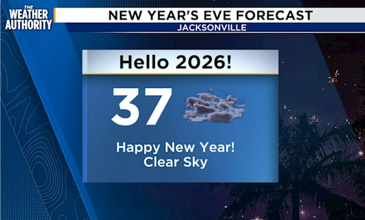
As 2025 comes to a close, this cold snap serves as a stark reminder of the winter conditions that can impact daily life. Authorities are closely monitoring the situation, and updates will be provided as more information becomes available.
Stay tuned for further developments and ensure you and your loved ones are ready for the cold ahead!