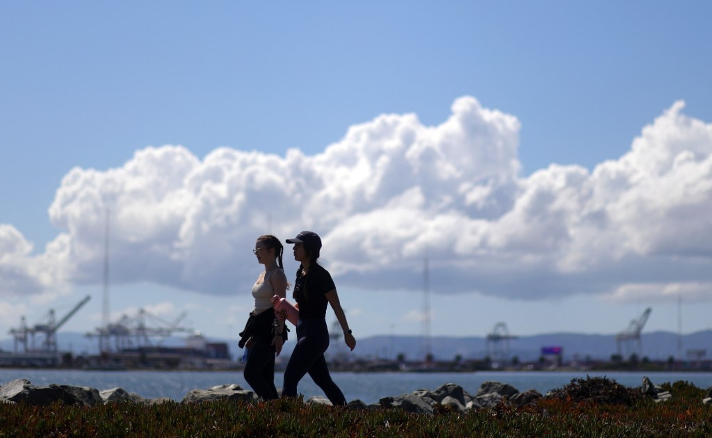
UPDATE: The Bay Area is on the verge of a significant weather shift as dry conditions are set to return, but not without a final round of scattered showers today. The National Weather Service (NWS) reports that transitioning from the recent stormy weather is taking longer than anticipated, with light rain still falling in pockets across the region.
Earlier today, NWS meteorologist Joe Merchant stated, “We will eventually dry out. But there are still some scattered light showers out there.” Rainfall totals from Monday’s storms were unexpectedly high, with 1.75 inches reported in central San Rafael and 1.66 inches in parts of Santa Cruz County. Meanwhile, San Francisco received 1 inch, Oakland recorded 0.75 inches, and San Jose saw 0.33 inches.
Today’s scattered showers are expected primarily near Monterey and San Francisco, with forecasts calling for only light rain. Merchant commented on the slow movement of storm cells, saying, “The dynamics that drove a lot of what happened on Monday were expected to be a lot farther south than they actually were.”
Looking ahead, the dry weather is projected to persist for at least a week, with significant drops in temperature. Overnight lows may plunge into the 30s, while daytime highs will struggle to reach the 50s.
Additionally, while the king tides that accompanied the recent storm surge have receded, beaches remain dangerous. Authorities warn of breaking waves expected to swell up to 20 feet on Thursday and Friday, presenting hazards for beachgoers.
As the Bay Area transitions back to dry weather, residents are urged to stay informed about the conditions. Officials are closely monitoring the situation, and further updates will be provided as necessary. Share this information to keep others informed about the ongoing weather developments!