Powerful Late-April Snowstorm Hits Northern Rockies With Up To 24 Inches
A massive late-season winter storm is unleashing heavy snow, fierce winds, and hazardous travel across the Northern Rockies right now, defying typical seasonal expectations and threatening widespread disruption.
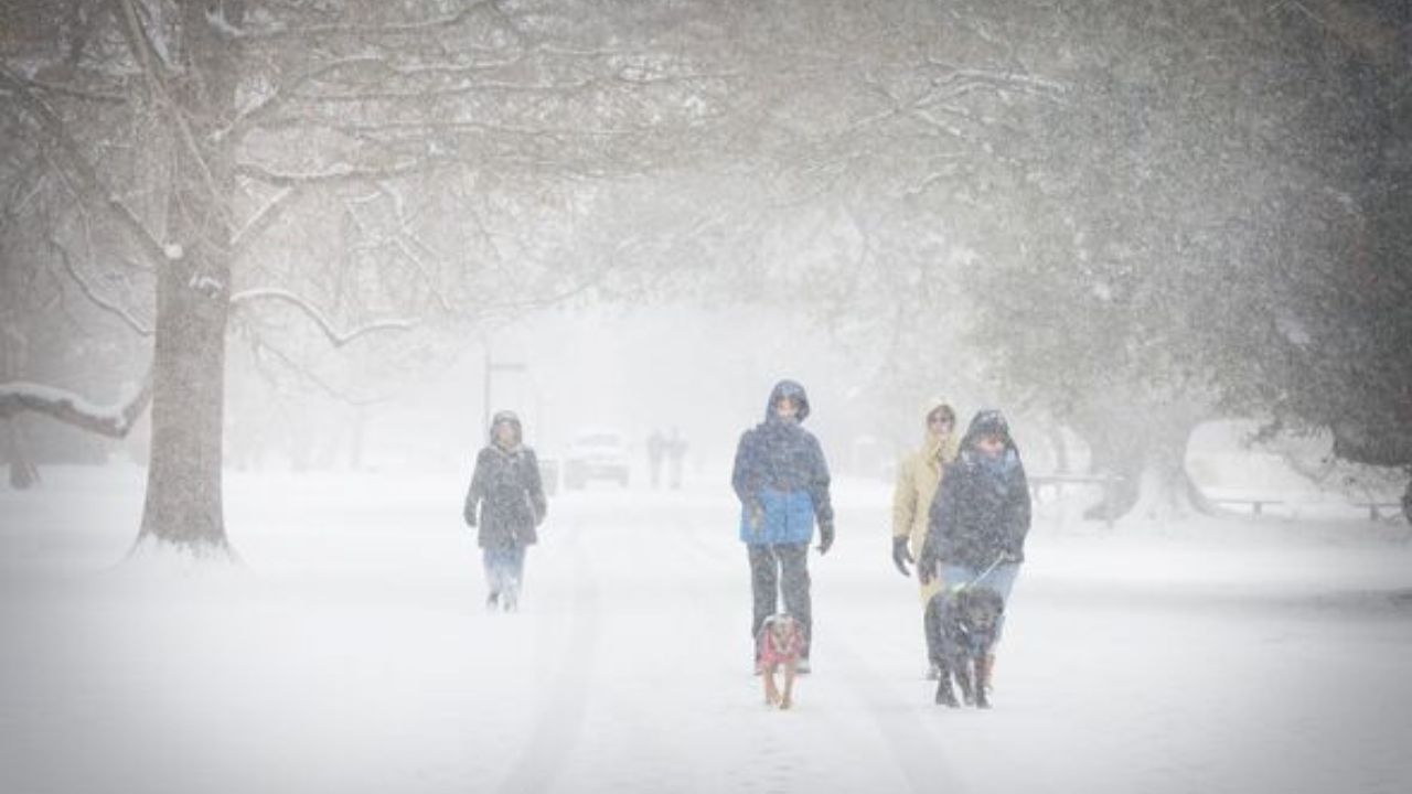
The National Weather Service (NWS) has issued multiple winter storm warnings and advisories spanning Montana, Wyoming, Colorado, Nevada, Oregon, Washington, and Idaho. Snowfall totals more typical of deep winter are piling up, with some mountain locations facing as much as 24 inches of snow during late April—a rare and intense event that has authorities urging caution.
Wyoming Faces Up to 24 Inches; Travel Risks Skyrocket
The storm’s strongest impact zone lies in Wyoming’s high elevations, especially the Sierra Madre and Snowy mountain ranges. The NWS office in Cheyenne warns of up to 12 inches of snow in many areas and up to 24 inches near Battle Pass. Officials emphasize that outdoor enthusiasts, including hikers, hunters, and snowmobilers, must avoid backcountry excursions during peak storm periods due to extreme visibility issues and safety hazards.
“This late-season storm is creating low visibility and disorienting conditions that are dangerous even for experienced winter travelers,” said an NWS spokesperson in Cheyenne.
Colorado Mountains Slammed by Snow and High Winds
Colorado’s mountain communities are also enduring brutal conditions. The storm has triggered widespread warnings across areas such as Crested Butte, Silverton, and Monarch Pass. Snow accumulation could reach 12 inches broadly, with especially heavy snow up to 24 inches reported on Grand Mesa. Coupled with wind gusts reaching 45 mph, travel across mountain passes and roadways is highly treacherous.
Emergency officials warn drivers to expect slick, icy roads and sudden visibility drops. Many local authorities recommend delaying all non-essential travel until conditions improve.
Montana Sees Brief Break, More Snow Expected
Montana residents are currently experiencing a short reprieve after days of snowfall, but forecasters indicate an additional 6 inches may fall before the storm finally eases. Residents should remain vigilant as conditions remain unpredictable in mountainous areas.
Wider Storm Effects Include Rain and Thunderstorms
Beyond snow, parts of Northern California and Nevada are contending with rain and thunderstorms, showing the storm’s broad impact across western states. The system is projected to track northeast toward the Upper Midwest through Monday evening, spreading hazardous weather further.
Travel and Safety Advisory: Prepare for Dangerous Conditions
Officials emphasize that snow-covered, icy roads combined with strong gusty winds pose significant risks for all travelers, especially in mountainous regions now blanketed in heavy wet snow. The NWS and local authorities urge residents and visitors to check weather reports frequently and avoid non-essential trips.
The storm’s timing so late in April is notable—heavy, wet snow is rare this late in the season and could strain infrastructure already vulnerable from previous winter storms, compounding safety and logistical challenges.
What’s Next?
The National Weather Service will continue issuing updates and advisories as the storm progresses through the northern Rockies and beyond. Travelers and residents should stay informed and heed all warnings. As the system moves into the Upper Midwest, similar hazardous conditions may arise, underscoring the storm’s ongoing national impact.
This extreme late-April snowstorm is a stark reminder that winter’s grip isn’t fully released—residents from the Rockies and northern plains to the Upper Midwest must remain alert to rapidly changing and dangerous weather conditions.