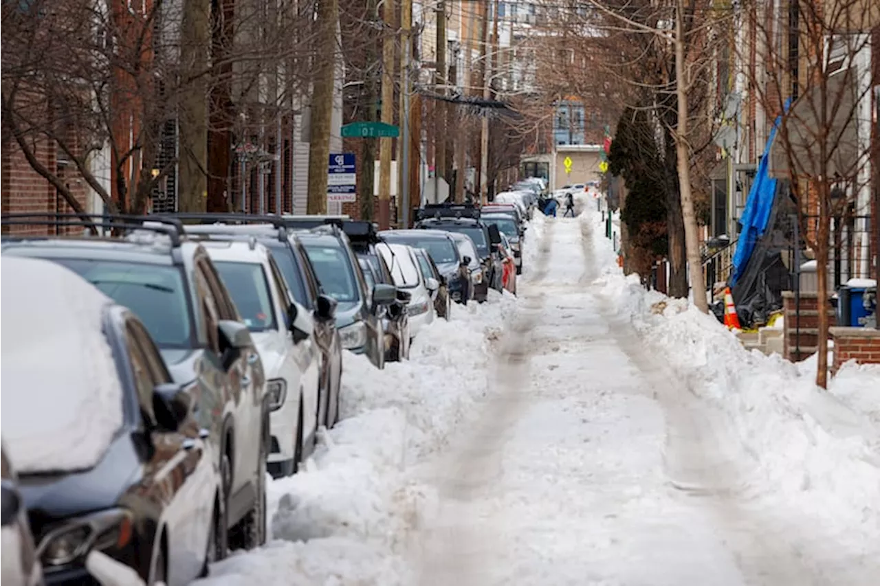
UPDATE: A powerful coastal storm, described as a “bomb cyclone,” is set to impact the Philadelphia area this weekend, with temperatures plunging into single digits. Forecasts predict wind chills as low as -10°F on Saturday and Sunday, creating dangerous conditions for residents.
The National Weather Service warns of stinging winds and potential coastal flooding along the Jersey and Delaware beaches due to a combination of strong onshore gales and a full moon. While significant snowfall is unlikely for Philadelphia, forecasters indicate a 50% chance of minimal accumulation, potentially around 0.1 inches, late Saturday into Sunday.
Meteorologist Mike Silva emphasizes that while snow may not be substantial in Philly, the bitter cold and wind impacts will be severe. “It’s going to be cold, and we’re still going to have the wind impacts,” he stated. Coastal areas could experience gusts of up to 40 mph on Sunday.
As frigid Arctic air interacts with the warm waters of the Gulf Stream, forecasters confirm that this storm could reach “bomb status,” defined by a rapid drop in barometric pressure. Such a drop signals a rapidly developing storm, increasing the likelihood of dangerous weather conditions.
Officials caution that the storm’s trajectory could shift, potentially altering the forecast. Senior meteorologist Tom Kines notes, “It wouldn’t take much of a jog west to really mess up the forecast.” Residents are urged to stay tuned for updates as the situation evolves.
Temperatures are expected to be around 0°F on Friday and Saturday mornings, with record lows likely. The cold will persist into next week, though highs are projected to reach around freezing by Monday.
As the storm approaches, residents are advised to prepare for potentially hazardous weather conditions. Emergency services are on alert and ready to respond to any incidents caused by the storm.
Stay connected for live updates on this developing story as the situation unfolds.